District’s 30th Anniversary
I
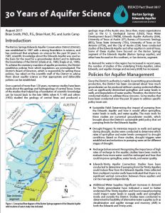
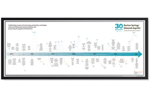
District staff compiled a variety of publications in honor of the 30th Anniversary. The District Timeline (above) shows key events, the Lovelady Monitor Well hydrograph with drought thresholds, and Directors through time. The 30 Years of Aquifer Science Fact Sheet (right) chronicles landmark scientific studies that helped further understanding of the District’s groundwater resources and inform District policies. To better inform conversations and policy making the District collaborated with accomplished cartographer and artist, Molly O’Halloran to create the Central Texas Water Resources Map (below)(tabloid, poster). To engage and educate students and residents about water quality indicators, the District worked with Pixel Profundo, LLC to develop an augmented reality card game that teaches about benthic macroinvertebrates (bottom).
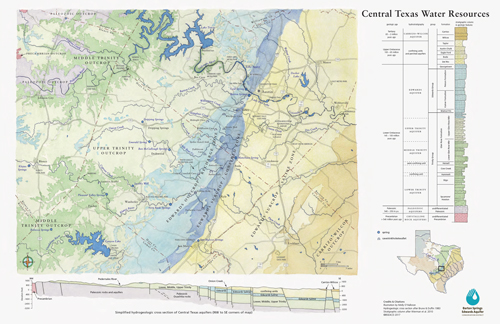
Central Texas Water Resources map (tabloid)
Central Texas Water Resources map (poster)


More info on the augmented reality game.
Visit our YouTube channel and like us on Facebook to keep informed about groundwater in the District.
