Aquifer Research
The BSEACD mandate is to conserve, protect, and enhance the groundwater resources of the Barton Springs segment of the Edwards Aquifer and other groundwater resources located within the District boundaries. The District has the authority to undertake various studies and implement structural facilities and non-structural programs to achieve its statutory mandate. Aquifer Science is a major program area of the District and critical to the management of any groundwater resource. A summary of the major study areas and implications for aquifer management are summarized in a 2017 document titled “30 Years of Aquifer Science.” That document can be found here. Below is an outline of the major areas of study.
Sustainable Yield and Groundwater Modeling
Part of the statutory mandate and responsibility of the BSEACD is to determine the amount of available groundwater in the aquifer that can be used sustainably. The Aquifer Science Team evaluates and quantifies the sustainable yield of the aquifer considering the critical, interrelated hydrogeologic factors of severe drought, pumping, springflow, and water levels. One of the primary tools available to evaluate these complex and interrelated factors are groundwater flow models. Most of the current work has focused on the Barton Springs aquifer; however, it is anticipated that future sustainable yield evaluations will consider the Trinity aquifer—an increasingly targeted water supply within the District’s boundaries.
Sustainable Yield and Groundwater Modeling Reports
Drought Status and Drought Trigger Methodology
The Aquifer Science Team evaluates the drought conditions in the aquifer by continuously monitoring water levels and springflow. A drought blog and chart are maintained to communicate drought conditions to the general public.
Previous studies have shown that with unmanaged pumping, current pumping rates, and a recurrence of drought-of-record conditions could cause negative impacts to the groundwater resources within the BSEACD. A drought trigger methodology (DTM) was devised in 2006, and modified since, to improve declarations of drought and to implement mandated conservation measures by groundwater users. These conservation measures are the primary means of protecting water levels and spring flow. The current DTM for the Edwards Aquifer are constantly being evaluated as new data is collected. In addition, a study devising a DTM for the Trinity Aquifer is anticipated in the near future.
Drought Status and Drought Trigger Methodology Water-Level Monitoring Reports
Groundwater Level Monitoring
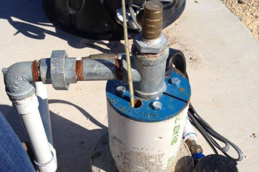
Groundwater levels and potentiometric surface maps provide critical information about the hydrologic relationships of recharge and discharge to storage within an aquifer and the direction of groundwater flow. Long-term, systematic measurements of water-level data are essential to develop groundwater models and to design, implement, and monitor the effectiveness of groundwater management programs. The Aquifer Science Team maintains more than 20 pressure-transducers that record hourly data. Three wells provide daily data via telemetry. In addition, the Aqufier Science Team regularly measures hundreds of water levels to produce snap-shots of the aquifer conditions (Potentiometric maps).
Water-Level Monitoring Reports
Saline-Water Zone/ASR
The Saline Zone of the Edwards aquifer, and its influence on the fresh-water zone of the Edwards aquifer is poorly understood. The Aquifer Science Team conducts studies and collects data to help characterize the saline-fresh water interface and groundwater within the saline zone. Future studies and data from the saline zone will help evaluate the saline-water zone’s potential for contamination of the fresh-water zone, its potential to serve as an Aquifer Storage and Recovery (ASR) area, and its potential as a source of water that could be treated to drinking water standards (desalinization).
Onion Creek and Blanco River Studies
Many studies, going back decades, document the surface and groundwater interactions in the Edwards Aquifer. However, despite the growing demand for water and increasing threats to surface water resource from both ecological and human health perspectives, few studies have been conducted to understand those interactions in the Hill Country Trinity Aquifers of Central Texas. There are recent studies that summarize new data and information collected the Blanco River and Onion Creek . These studies provide a greater understanding of the surface water and groundwater resources in the area that could help guide policies for groundwater and surface-water management, and also guide future scientific studies.
Click here for a list of reports
Edwards-Trinity Aquifer Connection & Characterization
Click here for a list of reports
Groundwater Tracing Studies
The Aquifer Science Team, in cooperation with the City of Austin (COA), continue an on-going dye tracing program that has existed since 1996. Dye tracing involves injecting non-toxic organic dyes into caves, sinkholes, and wells to trace groundwater flow. These studies constantly provide new insight into groundwater flow paths and flow rates.
Click here for a list of reports
Water-Quality Studies
Routine studies
As part of an ongoing partnership with the Texas Water Development Board (TWDB), The District conducts aquifer-wide sampling of groundwater sites and has done so annually since 1998. The TWDB funded laboratory analyses of these samples included major constituents, dissolved trace metals, and nutrients.
Baseline studies
A comprehensive list of groundwater constituents was also analyzed from 28 wells and 6 springs in 2001. This study was included in an EPA 319h grant administered by the TNRCC to study non-point pollution. The results of that study indicate that groundwater contaminant levels in most of the sampled wells and springs are low compared to EPA maximum contaminant levels. Though these data provide a good base line of water quality data, samples were collected during one period of flow conditions. Other agencies, such as the City of Austin and the U.S. Geological Survey, are also actively involved with water-quality studies.
Recharge Enhancement
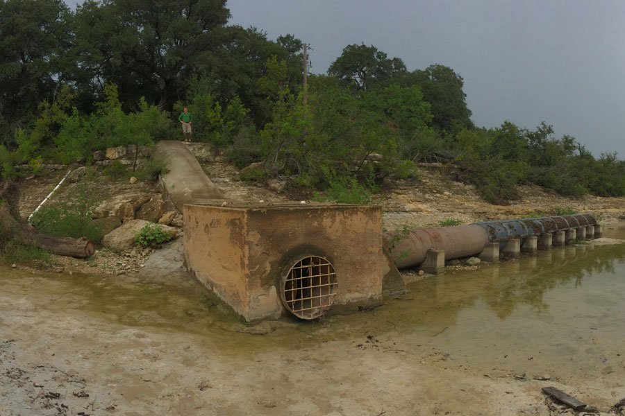
Because the majority of water that recharges the aquifer enters through recharge features (caves, sinkholes, and enlarged fractures) in the creek beds, the amount of water entering the aquifer can be increased by cleaning out sediment and debris from these openings. By increasing the amount of water entering the aquifer, more water can be available during periods of drought for discharge at the springs and for people that depend on the aquifer as their sole source of drinking water. Antioch Cave is a successful enhanced recharge project that the District continues to operate.
Geologic Mapping and Aquifer Characterization
The mapping of geologic materials and a detailed stratigraphic understanding of geologic units are both important for resource protection and evaluation of the Edwards and Trinity aquifers. The BSEACD partnered with the U.S. Geological Survey to produce a hydrogeologic map of the Barton Springs aquifer in 1996. BSEACD and the City of Austin continue to maintain and refine this map as new information becomes available. In 2004, a new geologic mapping provided the basis for refining the recharge zone of the Edwards Aquifer, which ultimately resulted in the ability to provide more aquifer protection.
3D Visualization
Three-dimensional visualization models are an effective tool for understanding and communicating the complexity of an aquifer system. Using C-Tech Corporation’s MVS (Mining Visualization System) software, District staff have begun to develop a 3D model of the geologic framework for the Barton Springs aquifer. The model is capable of displaying topography, aerial photos, water wells, Potentiometric surfaces, geologic map, water-quality data, dye tracing information, and caves. Future models may include the Trinity Aquifer and other site-specific projects.
Aquifer Testing
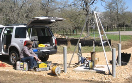
Permittees requesting the use of groundwater may be required to prepare a hydrogeologic report as a part of the permit process. A key part of the report is an aquifer test that can help determine the amount of water available to the well and potential impacts to surrounding wells. The Aquifer Science Team works with the Regulatory Compliance Team and permittees on aquifer tests as needs arise, and assists in planning, implementing, and interpreting aquifer tests. Results from aquifer tests can help to better-calibrate groundwater models.
Inter-aquifer flow between the Edwards and Trinity aquifer is unknown. Characterizing the hydraulic connection is important for predictions of groundwater availability for both aquifers and for springflow at Barton Springs. Additionally, significant inflow from the Trinity Aquifer could have impacts on the water quality of the Edwards Aquifer and its springs. Aquifer characterization, which involves the study of the water levels, geology, structure, stratigraphy, porosity, permeability, and hydraulic conductivity of the aquifer is also an important aspect of this study.


