Multiport Wells
Page under construction. Please check back frequently for updates.
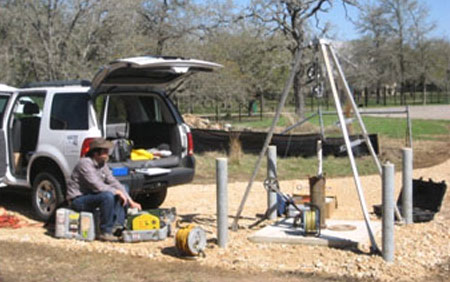
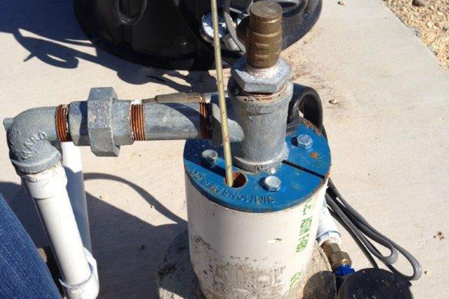
The District monitors six multiport wells. Each well is constructed to allow staff to measure properties of multiple rock layers independently.
Western Travis Co. Multiport Monitor Well
Install date: 2017
Collaboration: Travis County
The well is located near Hamilton Pool Road and SH71 near Bee Caves. Travis County provided substantial support for the monitor well. The western Travis Co. multiport monitor well is 715 ft deep and and 11 independent sampling zones from Middle and Lower Trinity Aquifers.
Central Hays Co. Multiport Monitor Well
Install date: 2017
Collaboration: Hays County and Wimberley Volunteer Fire and Rescue
The well is located in central Hays County in the Rolling Oaks subdivision near Driftwood. Hays County provided substantial support for the
monitor well, and additional support for the well includes a location granted by the Wimberley Volunteer Fire and Rescue and access
by surrounding neighbors. The central Hays Co. multiport monitor well is 850 ft deep and has 12 independent sampling zones within the Upper and Middle Trinity Aquifers. The western Travis Co. multiport monitor well is 715 ft deep and and 11 independent sampling zones from Middle and Lower Trinity Aquifers.
Saline Edwards Multiport Monitor Well
Install date: 2016
Collaboration: Texas Disposal Systems, Edwards Aquifer Authority, and Texas Water Development Board
After years of planning and collaboration, and with support from Texas Disposal Systems, the Edwards Aquifer Authority, and a
Regional Facilities Planning grant from the Texas Water Development Board, a multiport monitor well has now been installed in the saline Edwards Aquifer east of IH-35 near Creedmoor. District staff worked with experts from Westbay Instruments and the U.S. Geological Survey to log and equip the well.The monitor well is 1,095 feet deep and goes from the Taylor Clay at the surface through the Edwards formations into the Upper Glen
Rose formation. It was constructed to isolate 18 individual zones with packers and sample ports to allow hydrogeologists to test and sample each zone independently. This well is part of a broader study to evaluate the potential for desalination of the saline groundwater and for storage of freshwater as part of an aquifer storage and recovery (ASR) system. With limited water resources in the area, alternate sources of water are being investigated.


