Needmore Index Well
Page under construction. Please check back frequently for updates.
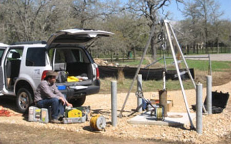
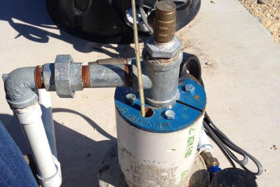
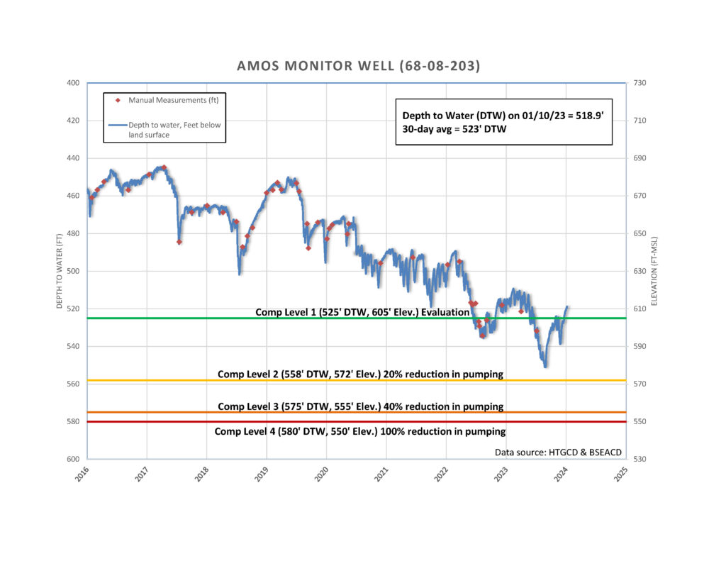
The Barton Springs/Edwards Aquifer Conservation District (BSEACD) will continue continuous water level monitoring of the Amos well and building on period of record collected by the Hays-Trinity GCD (HTGCD). This well will serve as an index well for the Needmore Permit. Real-time data at the Amos – Needmore Index Well exists here
The Amos Monitor Well was continuously monitored by the Hays-Trinity Groundwater Conservation District from winter 2015 to summer 2019 (link).
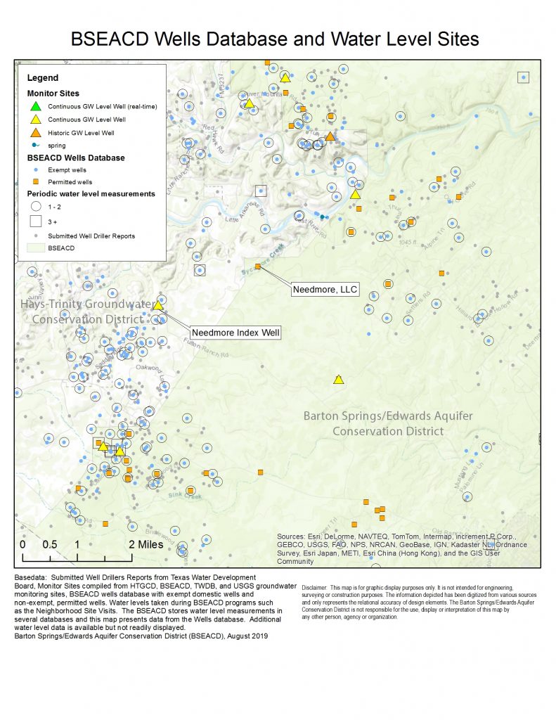
The District has water level records on a variety of wells in the area. A robust site visit outreach program and an extensive monitoring well network (including wells with continuous and periodic measurements) exists. The map above shows water level measurements and monitoring efforts by the BSEACD and HTGCD.
Useful links:
